The second in a series of blogposts looking at individual papers that form part of this summer’s consultation on the future of the city and district
See Wellbeing and Social Inclusion here
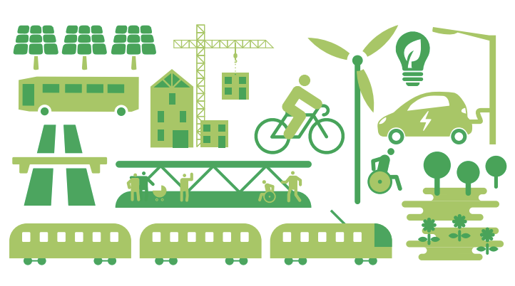
Above – Infrastructure 2D-style from the Infrastructure Topic Paper – just 29 pages this time!
This paper covers:
The following proposed policies areas are addressed in this topic paper:
- I/ST: Sustainable transport and connectivity
- I/MH: Mobility hub facilities
- I/CV: Cycle and vehicle parking
- I/SD: Servicing and last-mile deliveries
- I/SI: Safeguarding important infrastructure
- I/AD: Aviation development
- I/EI: Energy infrastructure masterplanning
- I/ID: Infrastructure and delivery
- I/DT: Digital and telecommunications infrastructure
- I/CM: Construction management
Above – the ‘I’ standing for Infrastructure
Those refer to links to the section in the main draft local plan document – the important one. That is at the top of the list of documents and is labeled as Appendix A: Proposed Submission Greater Cambridge Local Plan (Regulation 19) (Committee Version). Click on that document in the list and scroll down to p701 (of 875 pages!) and you should get to a big green page.

Above – Infrastructure on p701 of the main draft local plan paper at Annex A
New Mobility Hubs
“Provide new mobility hubs within walking, wheeling and cycling travel distance of
homes and centres of employment, enabling interchange between different modes
and public transport;”
Above – Appendix A p707. I’ve yet to see this done well in Cambridgeshire – where you have rail and buses seamlessly co-ordinated with each other.
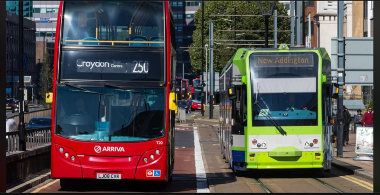
Above – systems like the Croydon Tram (which has a big tram, bus, and heavy rail interchange at East Croydon Railway Station – hence the awkward towers) function as interchanges, although the planning from the pedestrians’ perspective isn’t great
The draft plan also states:
“Major development will be expected to provide access to high quality public transport
within reasonable walking distance of homes and jobs, defined as 400 metres from a
bus stop or 800 metres from a railway station in line with Active Travel England’s
Standing Advice Note: Active travel and sustainable development”
Above – Appendix A p709.
I’ll believe it when I see it. The past quarter of a century hasn’t convinced me that transport professionals want anything other than more buses – even though the city centre cannot cope with them. (Hence my repeated calls for a new second urban centre to be planned for Cambridge as it continues to expand)
“Also, what happens to the Cambourne busway buses when they hit Grange Road?”
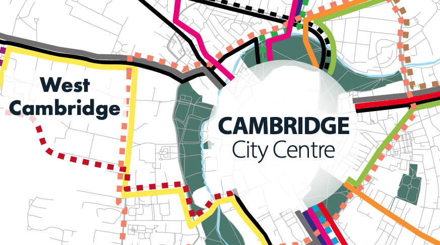
Above – from my blogpost in October 2022 – we still haven’t had a substantive answer from the Greater Cambridge Partnership,
The former Transport Director and interim Chief Executive has repeated the phrase that buses will join the ‘existing network’ without actually showing the routes because there are no convenient existing roads for buses to go down from Grange Road to get to say Drummer Street without getting snarled up in motor traffic.
As the 2022 blogpost showed, I made a video in August 2017 asking about that ‘Grange Road Question’ here.
And even when called out by their own commissioned auditors on the Cambourne2Cambridge busway they had no substantive answers even for them.
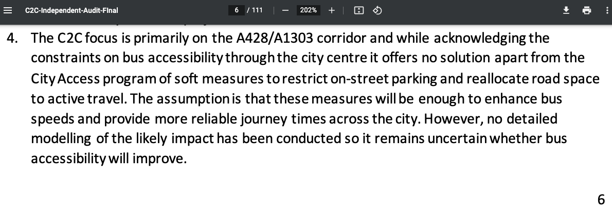
“No detailed modelling of the likely impact has been conducted so it remains uncertain whether bus accessibility [to the city centre] will improve.”
Last Mile Deliveries – where are the out-of-town freight interchanges going to be?
“The policy requires developers to consider the whole journey including the first/last
mile and interchange between modes, to help break down physical and perceived
barriers and improve connectivity.”
Above – Appendix A p709. I’ve not seen anyone come forward with a site, let alone basic proposals for freight exchanges to enable small packets to be transferred onto local cycle and e-micro-vehicle couriers which do far, far less damage to road surfaces
Back in November 2021 I asked:
“Where are the freight exchanges on the edge of cities that would enable the transfer of large vans and lorries containing small packages over to cycle-based local couriers?”
Anyway, the topic paper highlights the changes made to the draft local plan (the Appendix A document) so feel free to go through those in more detail.
Additionally, there will be further updates coming from the Combined Authority on the Greater Cambridge Transport Strategy, along with the Cambridge Growth Company’s assessment on the forms of mass transit that they think will be suitable for Greater Cambridge.
In the end I think it will be a mix – possibly going with a light rail spine that might go underground or as proposed in the last Millennium, hug the existing railway line as it goes through Cambridge before making use of existing disused rail corridors or charting new routes to the new settlements.

Above – the map from Buchanan and Partners for Cambridge City Council citing Cambridgeshire County Council’s Light Rail proposal from 1991.
I wrote more about the proposals in Lost Cambridge in 2021 here
Will the 2030s finally be the year that Cambridge gets a light rail?
If you are interested in the longer term future of Cambridge, and on what happens at the local democracy meetings where decisions are made, feel free to:
- Follow me on BSky
- Spot me on LinkedIn
- Like my Facebook page
- Consider a small donation to help fund my continued research and reporting on local democracy in and around Cambridge


